
Maps of Harford County dating to the 1800s are now online and interactive, giving citizens the opportunity to look back in time.
The historic maps are a new addition to Harford County government’s WebGIS Data Viewer, developed by the department of planning and zoning, and published under the Maps & Apps section of the county website.
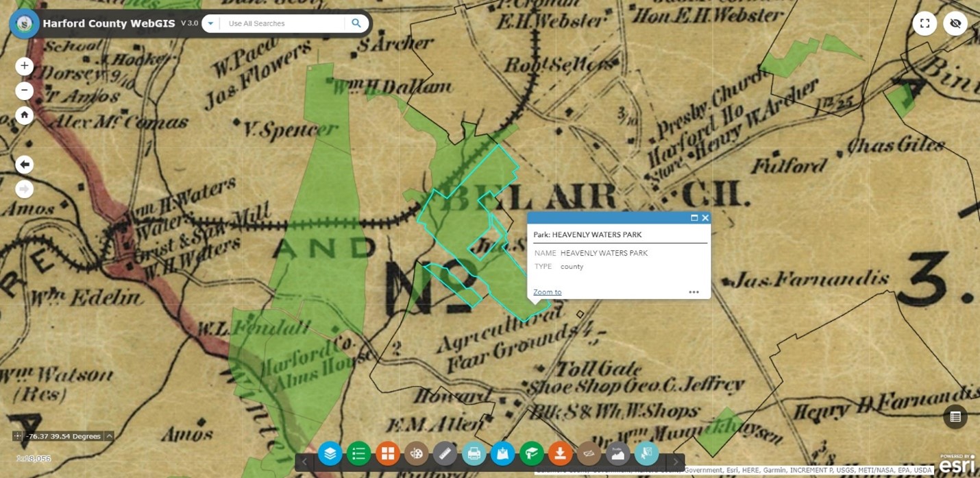
The application allows anyone to search, view, and print maps of Harford County without having specialized GIS software. Users simply enter an address and select a base map on which it will appear. Layers can also be selected to identify features like watersheds and public parks.
The new historic map collection includes Jennings & Herrick’s 1858 Map of Harford County, Maryland; S.J. Martenet’s 1878 Map of Harford County, Maryland, and early 20th century U.S. Geological Survey topography and election districts maps. Modern-day aerial maps are also available in the base map gallery, which is accessed by clicking the orange circle at the bottom of the WebGIS Data Viewer webpage.
“Residents of all ages can learn about our past and present by exploring these interactive maps,” County Executive Barry Glassman said. “I would like to thank my staff in the department of planning and zoning for continuing to expand our Maps & Apps features, this time using modern technology to keep Harford’s history alive.”